Menu...
MiraMon Map Browsers
Interesting Map Servers and Browsers
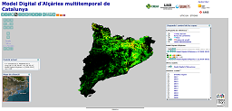
Multitemporal Digital Height Model of Catalonia
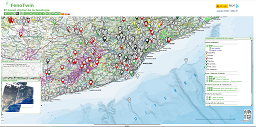
FenoTwin
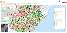
BCNReconnecta
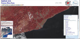
Catalan Data Cube
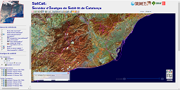
SatCat: Landsat satellite image server of Catalonia
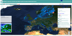
WQeMS: Copernicus Assisted Lake Water Quality Emergency Monitoring Service
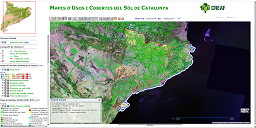
Land Cover Maps of Catalonia
Climatic Map Viewer - ACAPI project
Land cover Map Viewer - ACAPI project
Map Server of Andorra
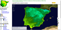
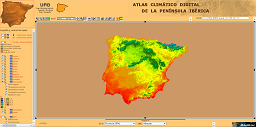
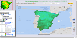
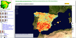
Digital Climatic Atlas of the Iberian Peninsula
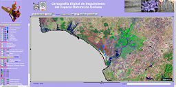
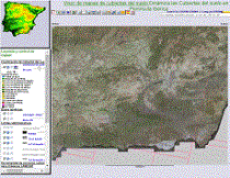
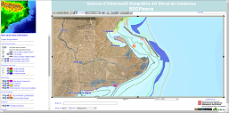
Digital monitoring cartography of Doñana Natural Park
Other Map Browsers and Servers
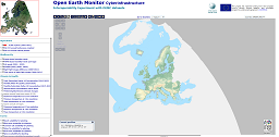
Open Earth Monitor Cyberinfrastructure
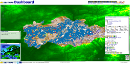
BESTMAP Dashboard
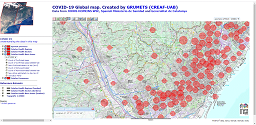
Covid-19 Global Map
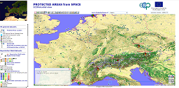
ECOPotential Protected Areas from Space
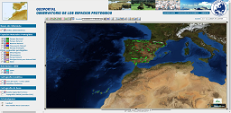
EUROPARC Protected Natural Spaces Browser
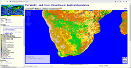
The World: Soil Covers, Elevations and Administrative Limits
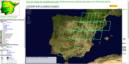
Land cover Map Viewer - DinaClive project
Climatic Map Viewer - DinaClive project
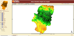
Climatic Atlas of Aragon
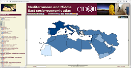
Mediterranean and Middle East socio-economic atlas
Socio-economic Map Viewer - ACAPI project
Catalan coast GIS. SIGPesca
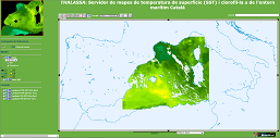
THALASSA: Surface temperature (SST) and chlorophyll maps server in the Catalan maritime environment