30 years of MiraMon

In 2024 we celebrated that 30 years ago we began developing MiraMon, a pioneering software in Geographic Information Systems (GIS) management and remote sensing. Since then, we have never stopped. Over three decades, more than 200,000 users from up to 42 countries have trusted MiraMon to carry out relevant projects in areas such as Earth Observation, territorial analysis, and scientific education. Initially developed for teaching and research, MiraMon has consolidated as an essential tool for scientists, institutions, and professionals worldwide with emblematic projects such as the study of the Health Map of Catalonia, the 4 reference versions of the Land Cover Maps of Catalonia (1993 to 2009), the Digital Climate Atlases of Catalonia and the Iberian Peninsula, or the quinquennial studies of Land Use and Cover Dynamics from 1987 to 2022 carried out with satellite images.
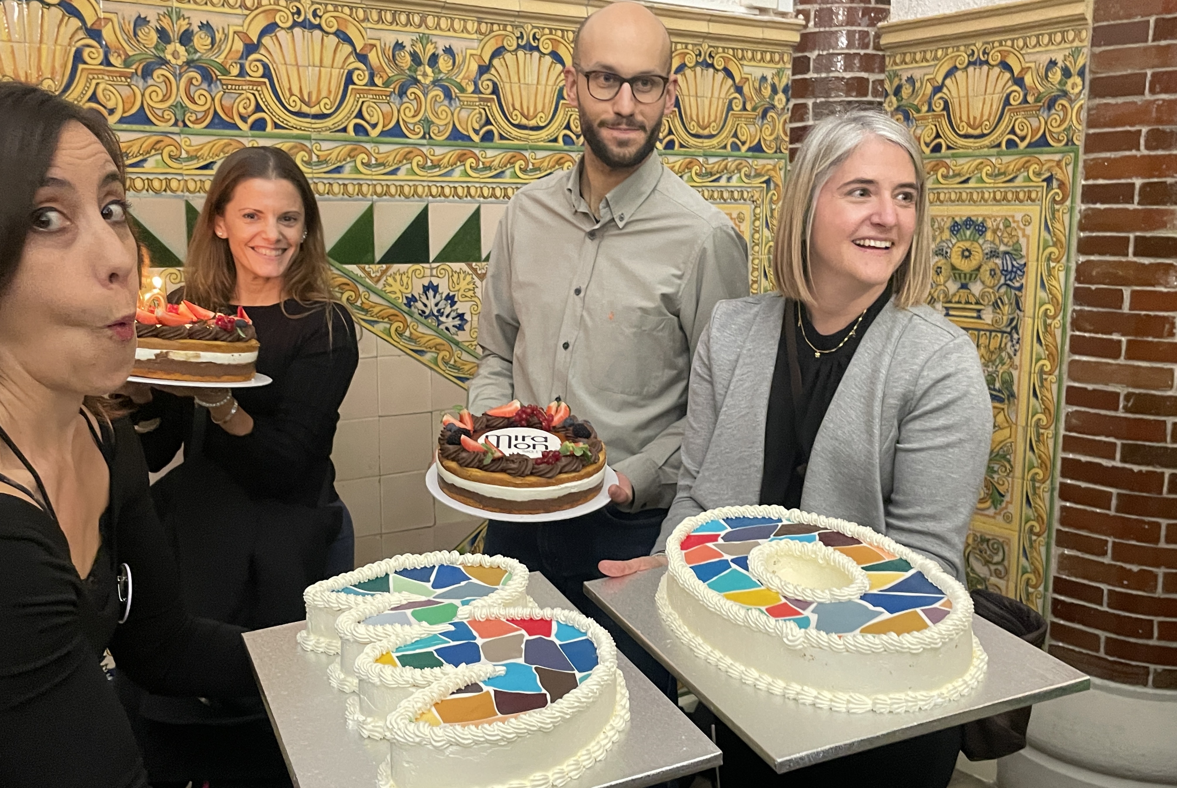
That special year, we celebrated this collective effort with activities, conferences, and a main celebration event.
- Main celebration event
- Commemorative videos
- Itinerant exhibition "30 years of MiraMon"
- Cycle of conferences, workshops and round tables "MiraMon 30 years: new perspectives"
Central Celebration Event
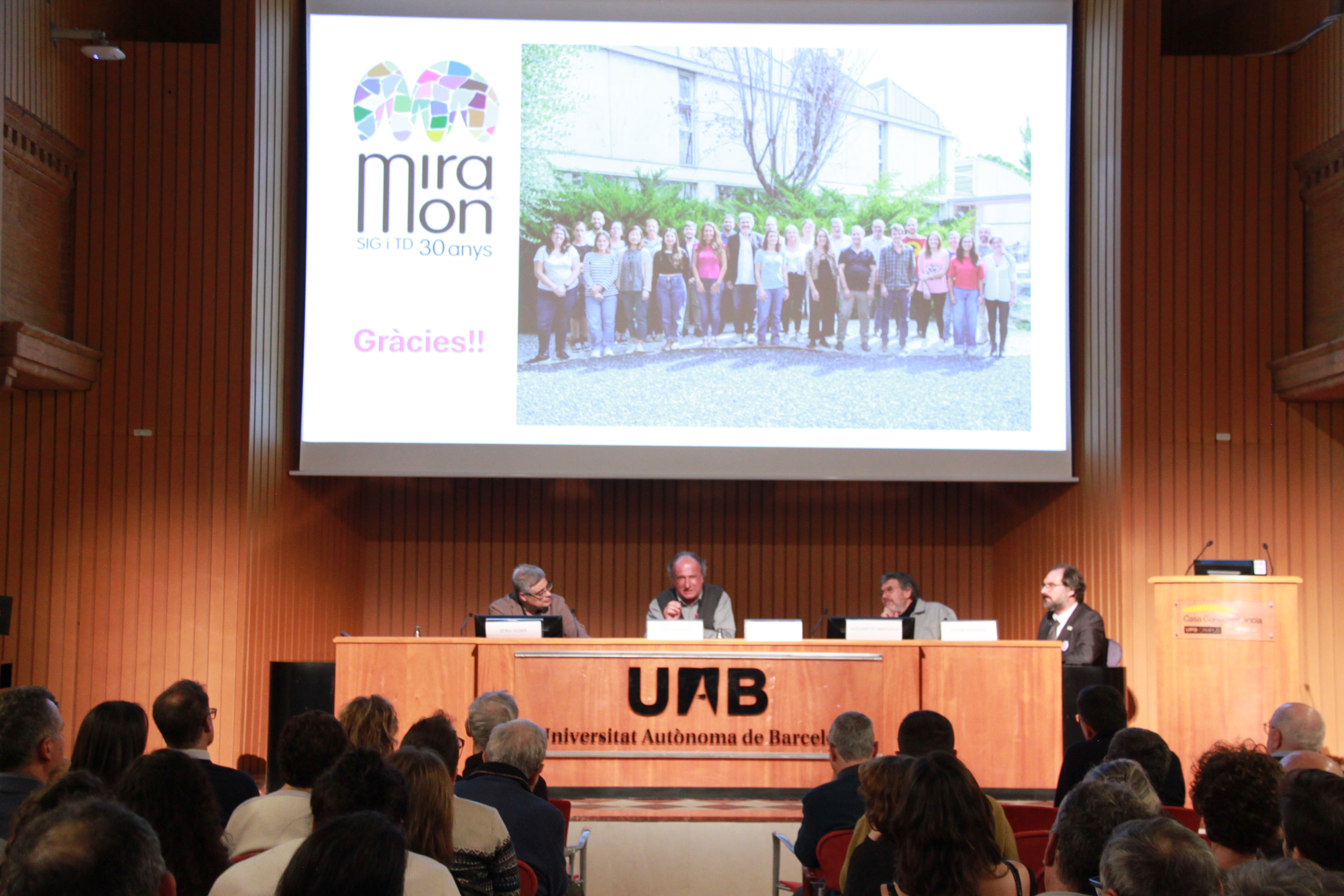
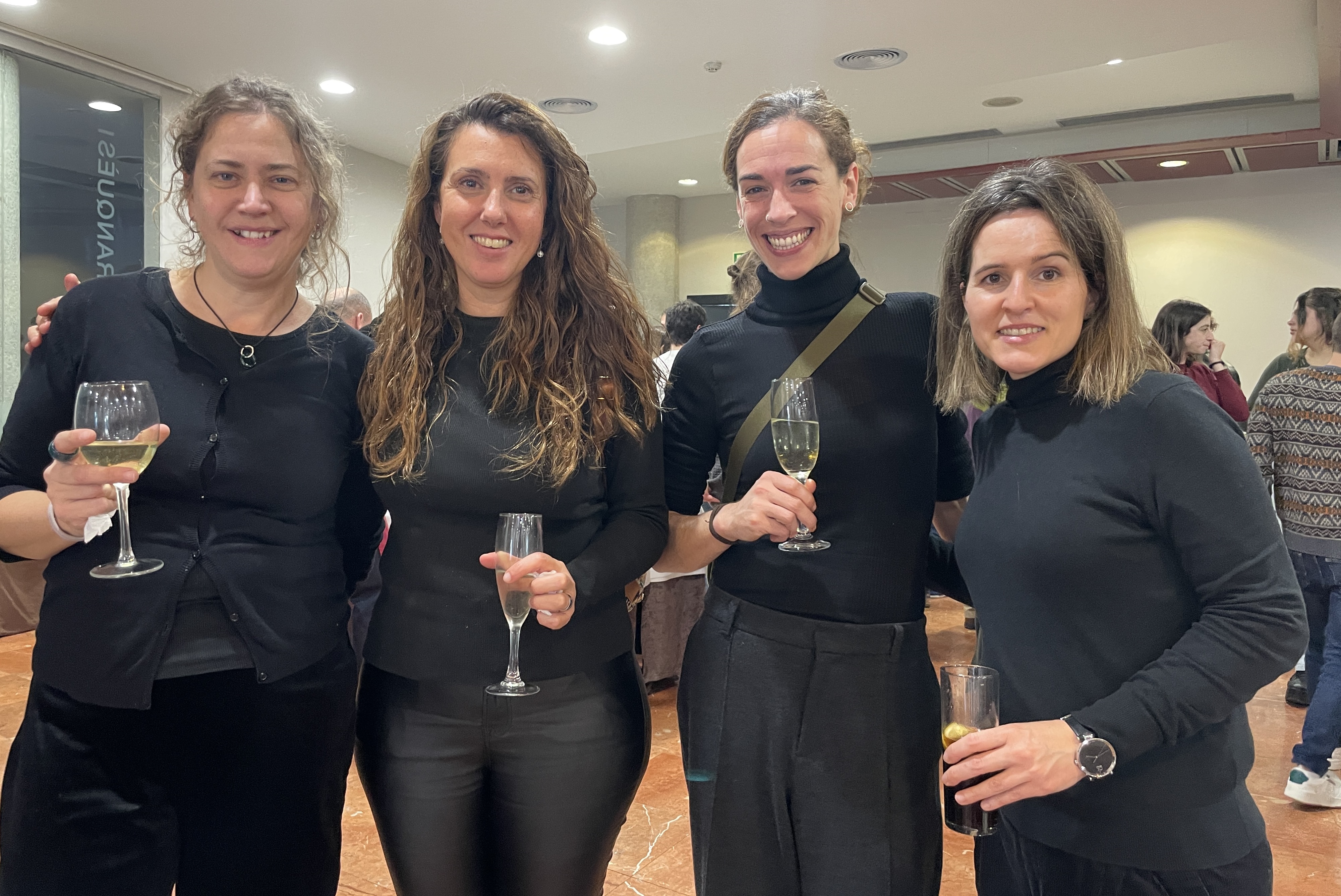
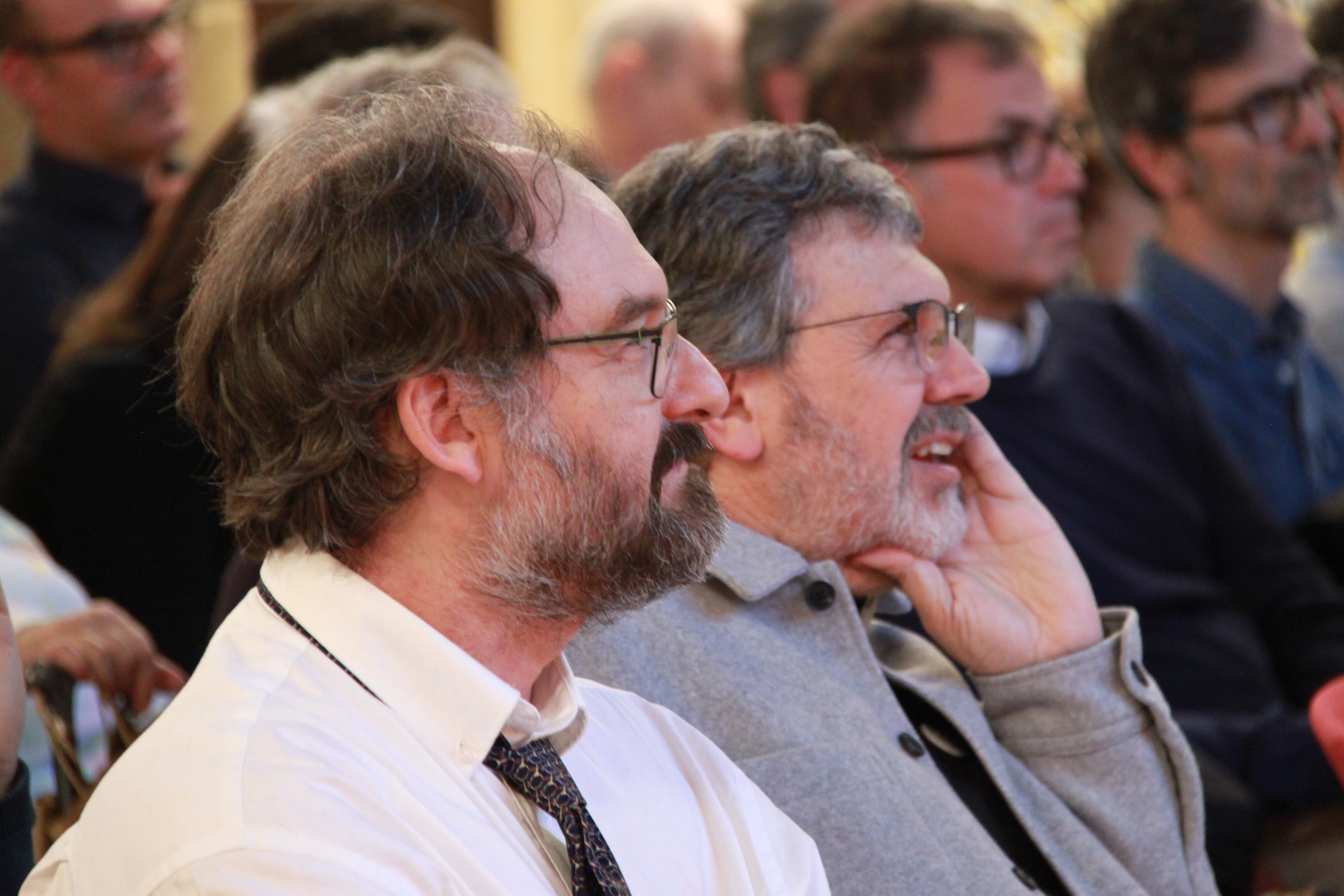
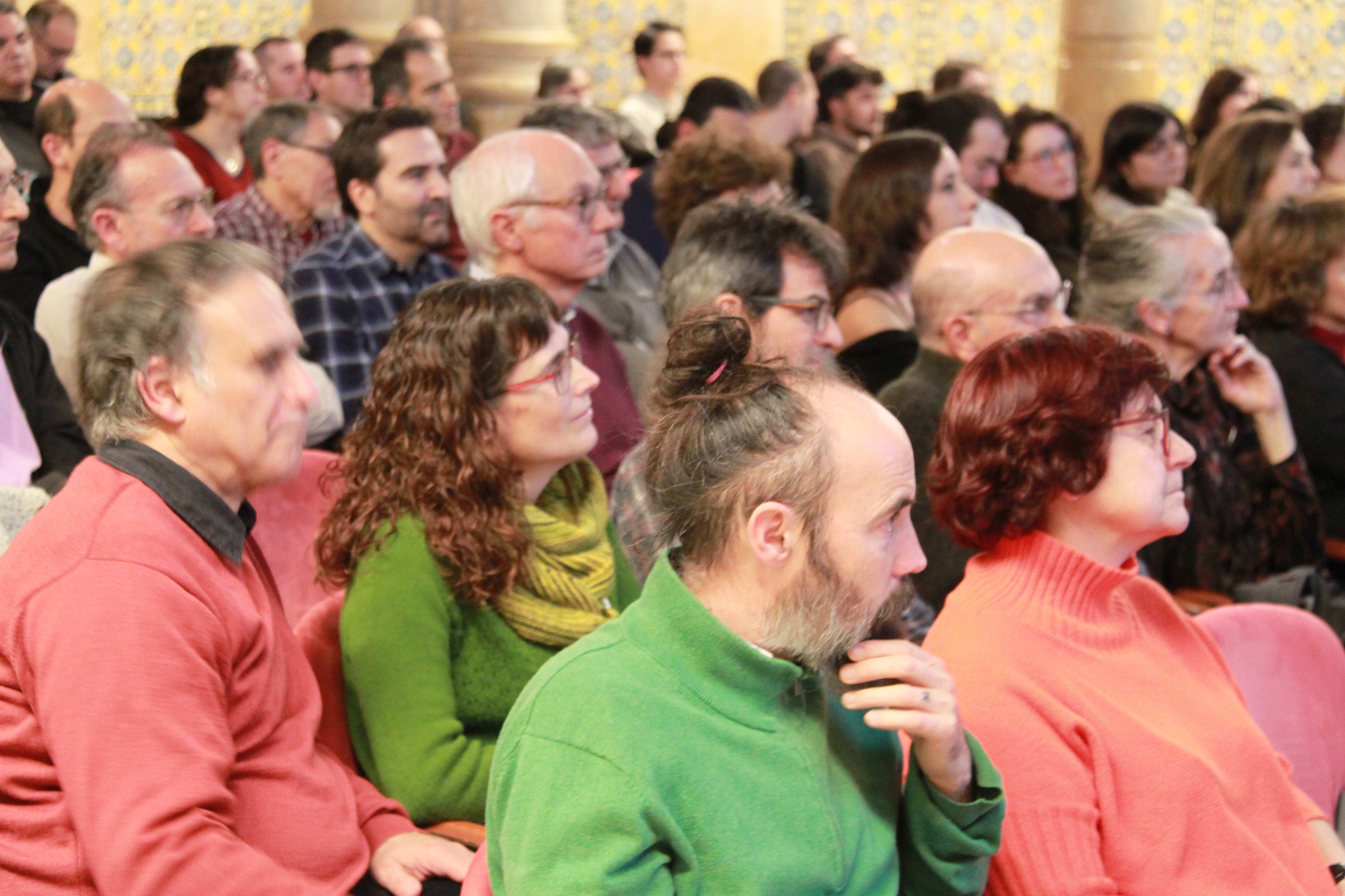
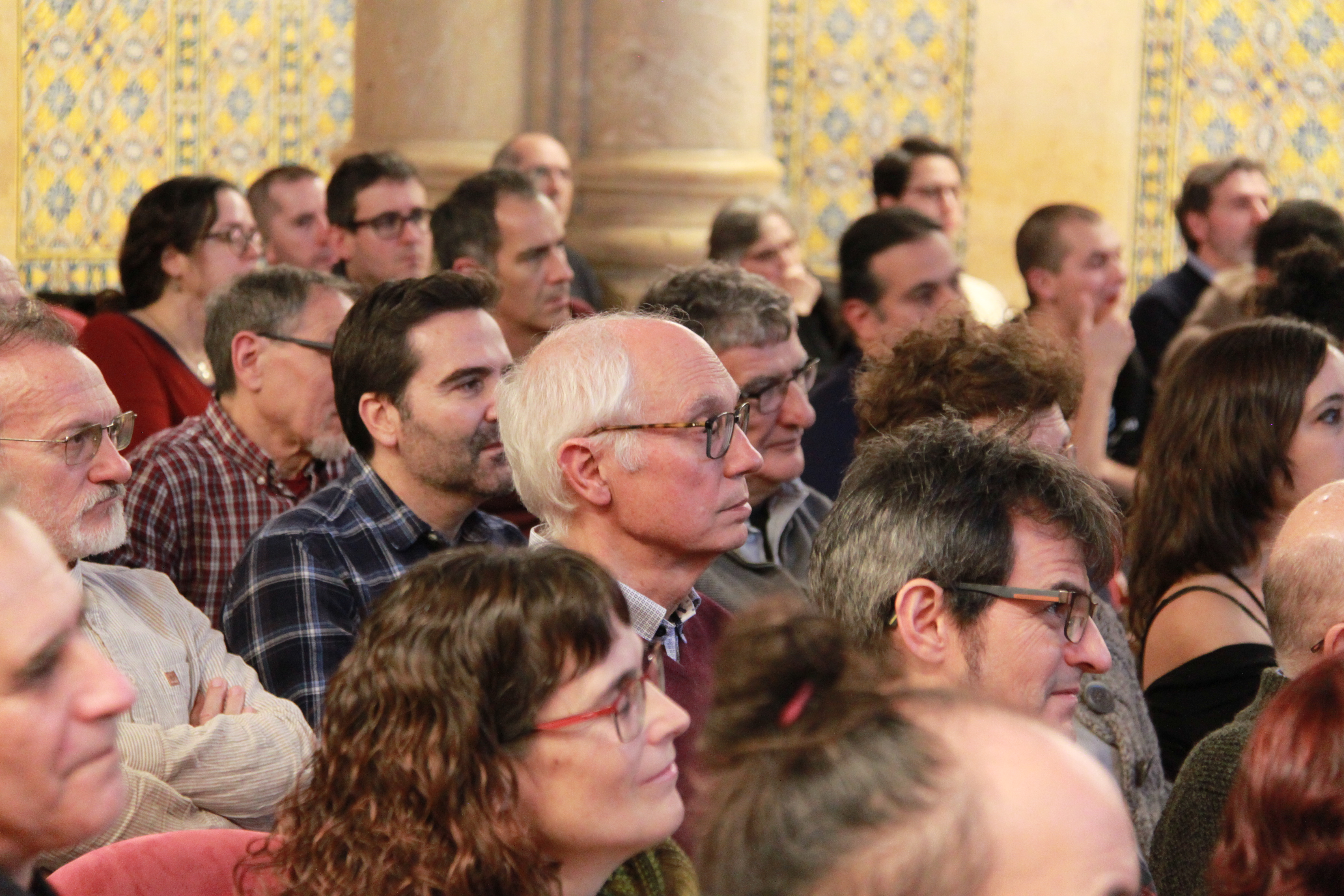
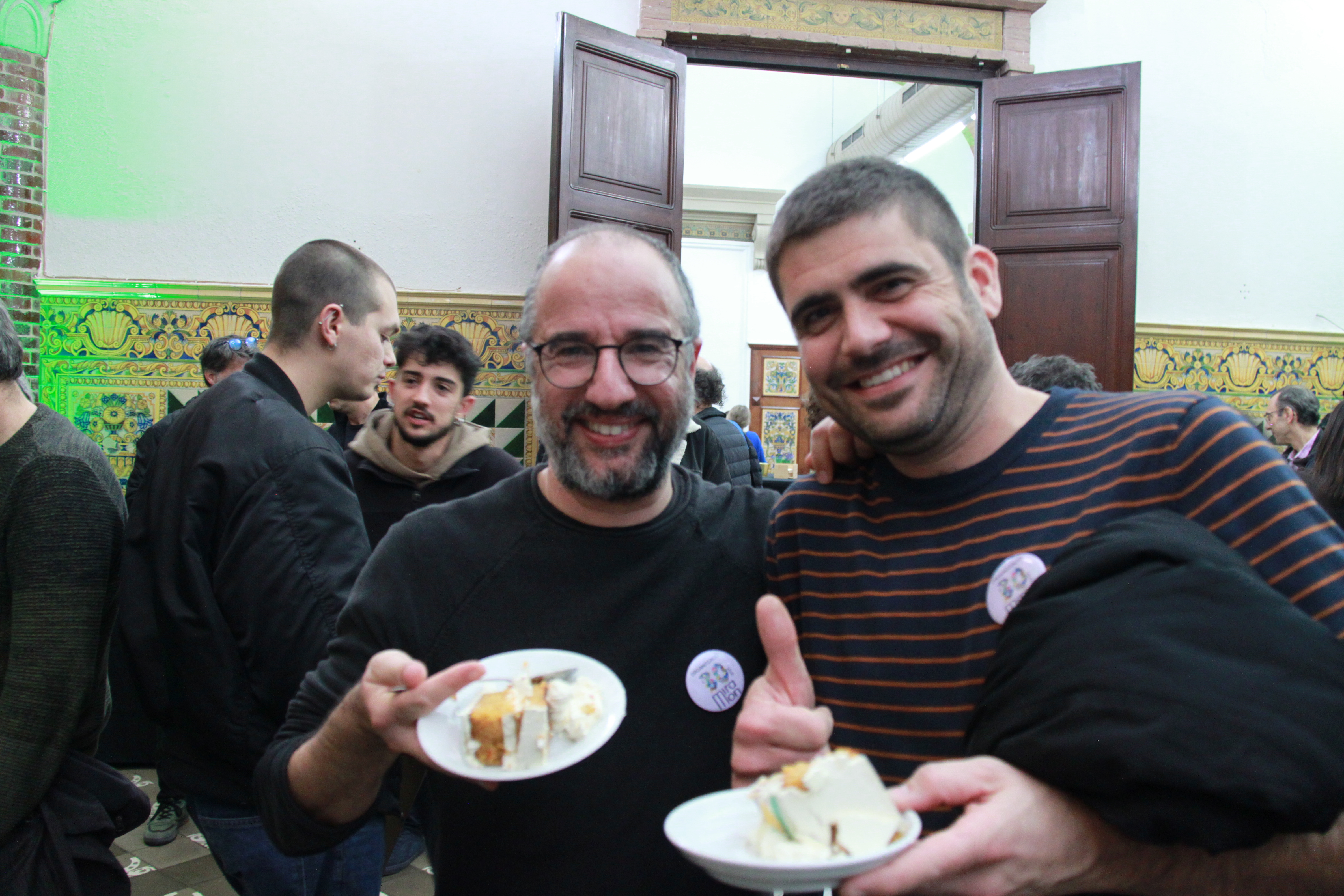
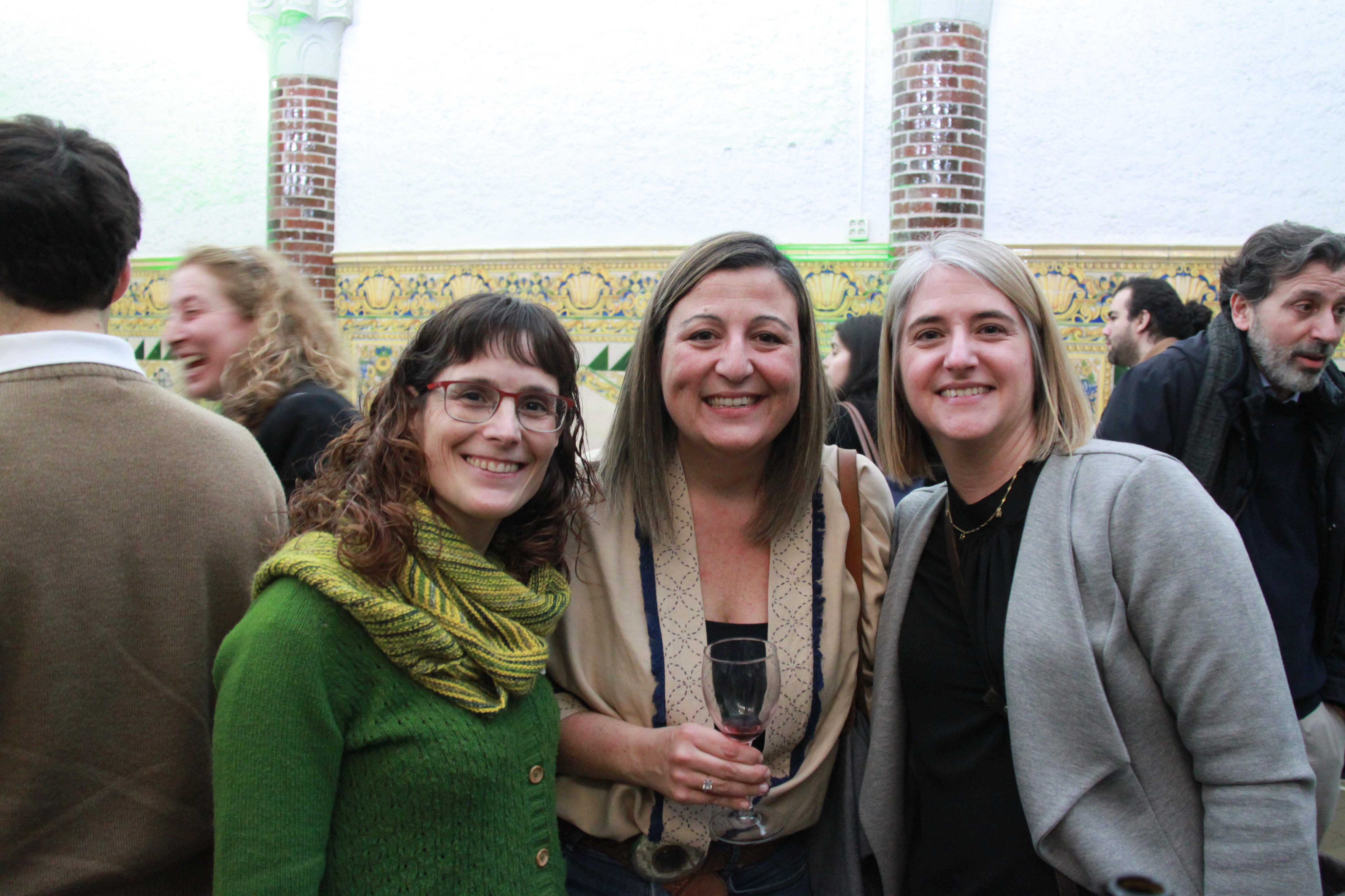
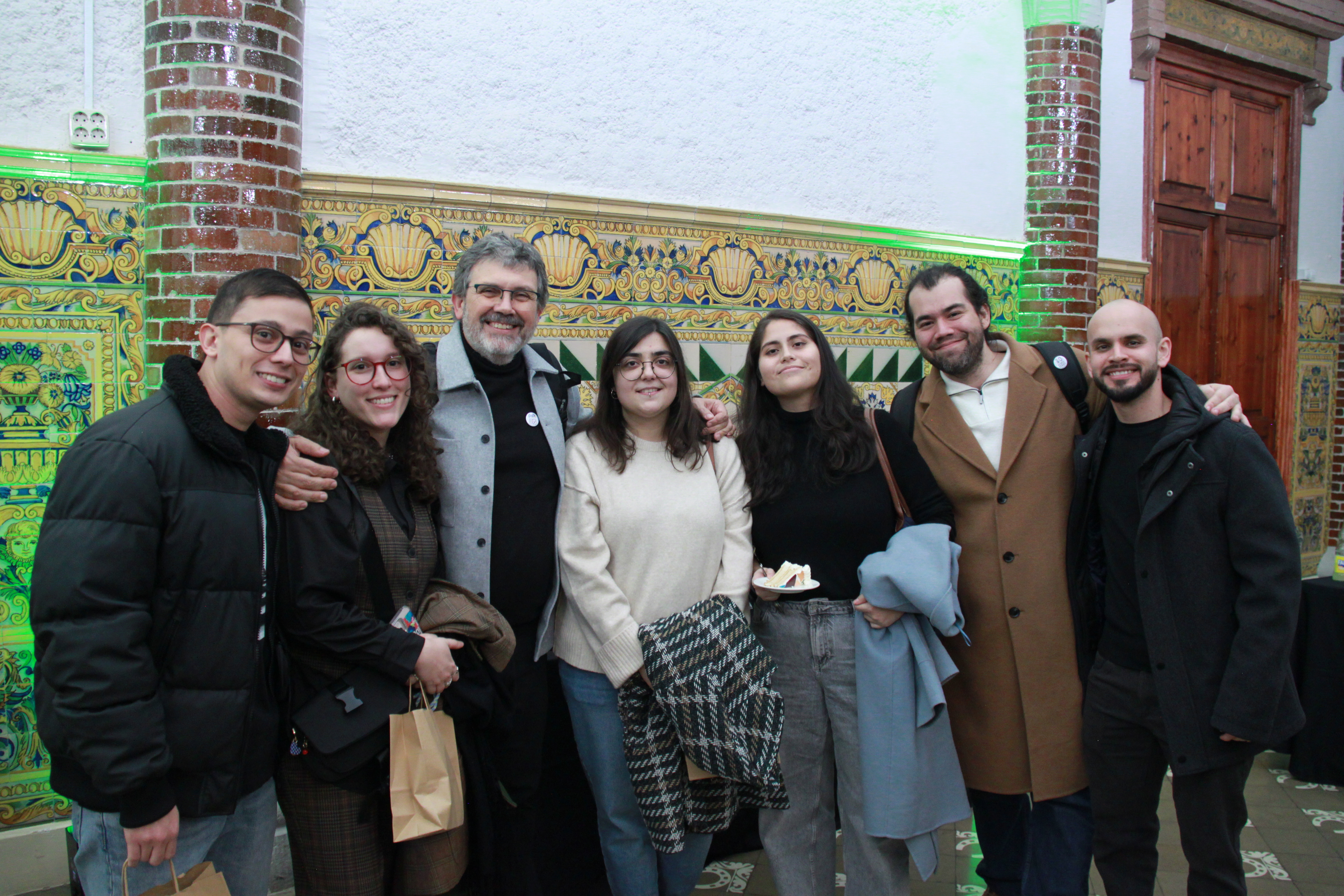
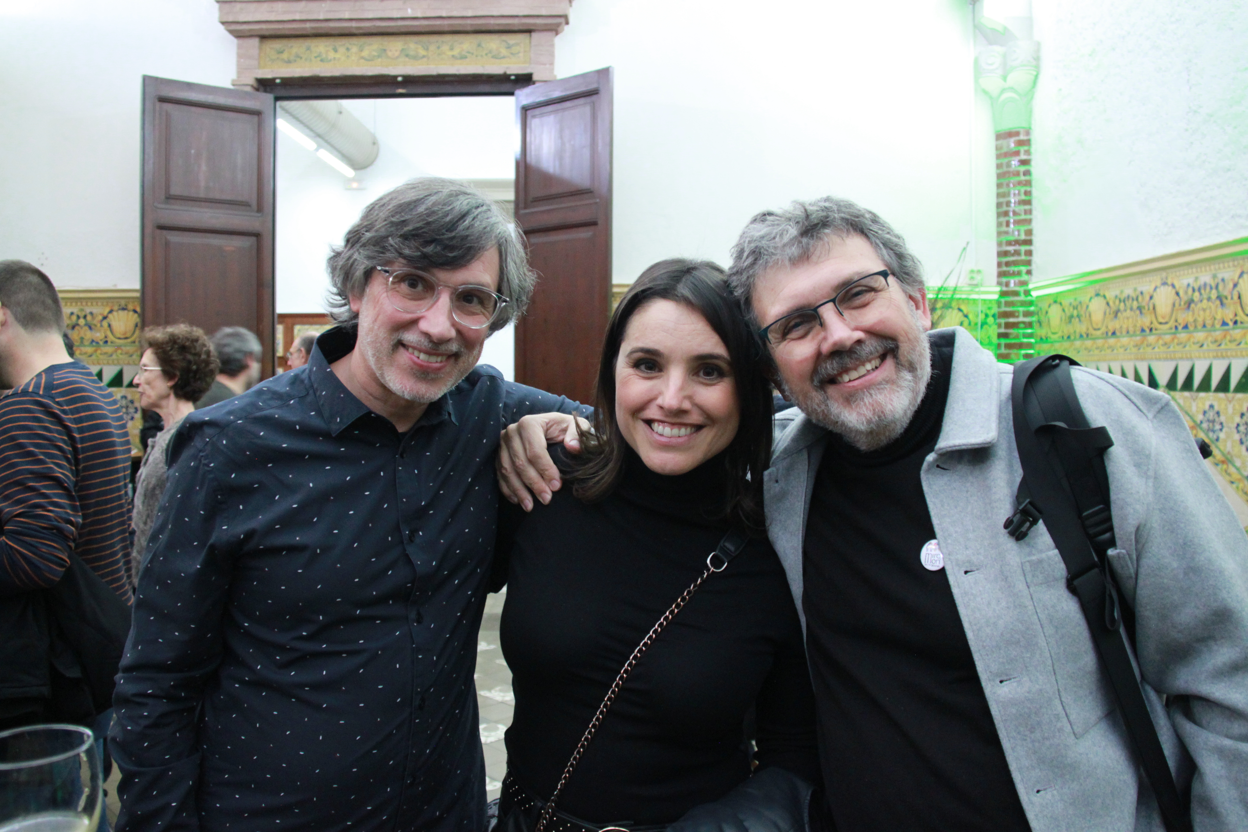
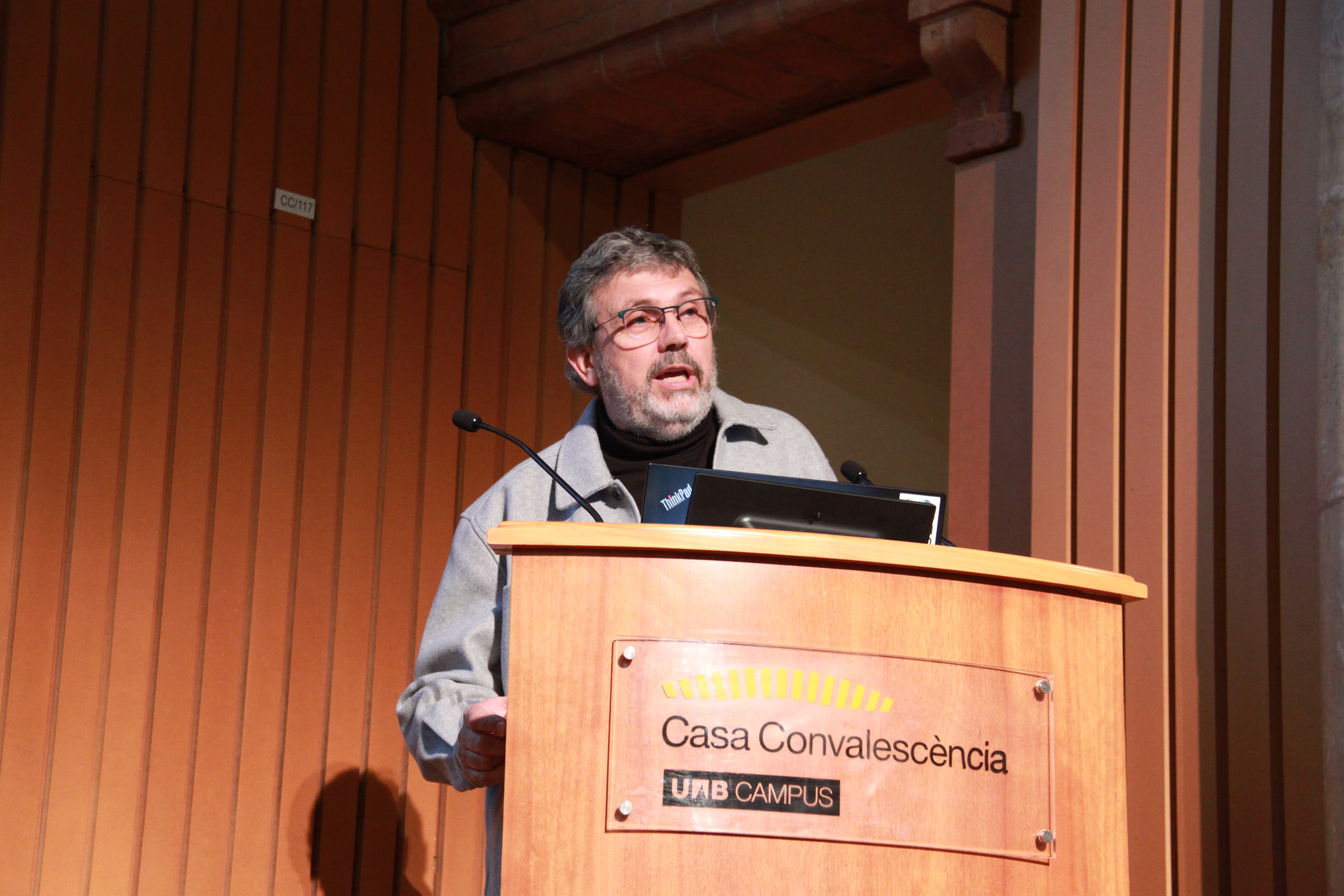
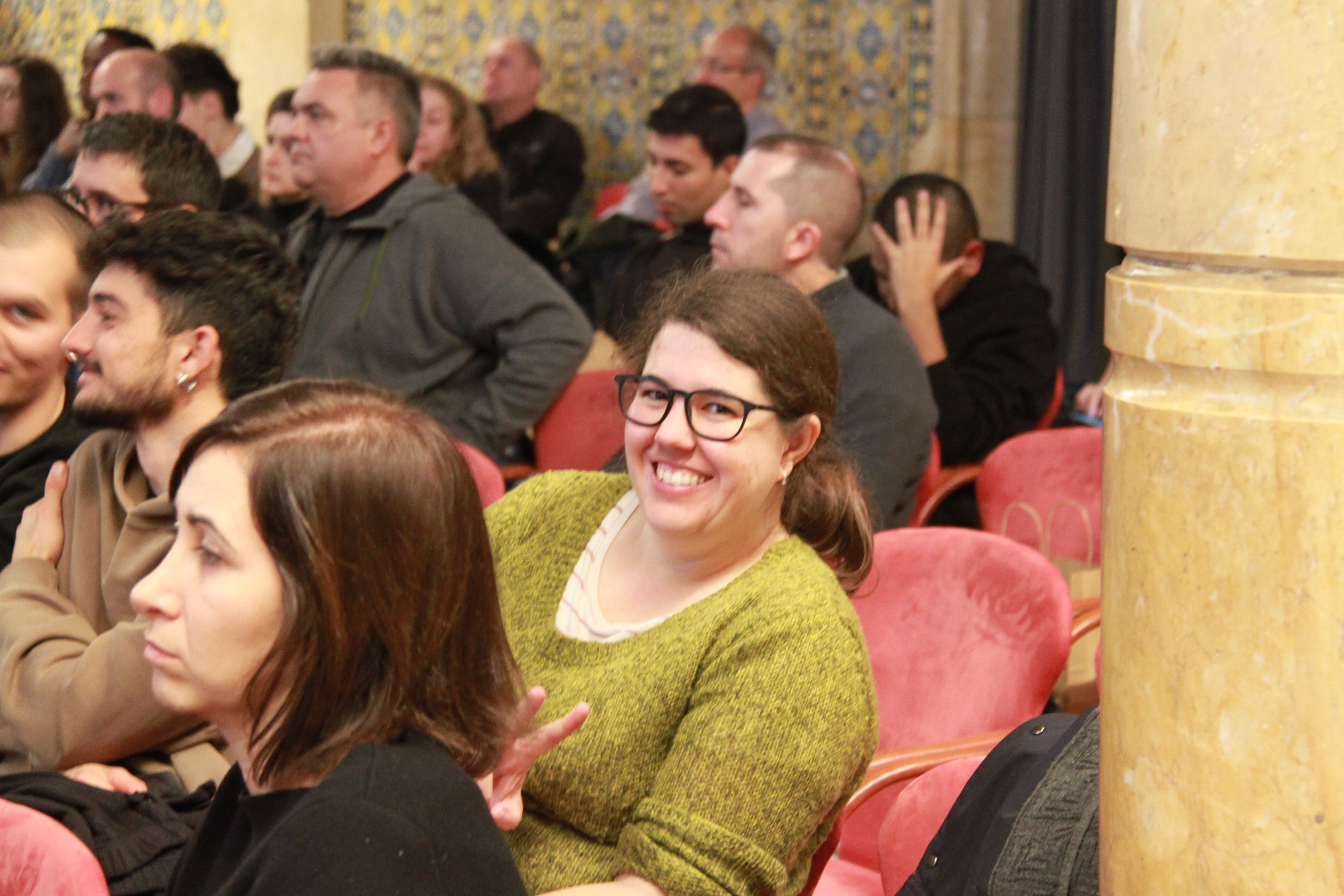
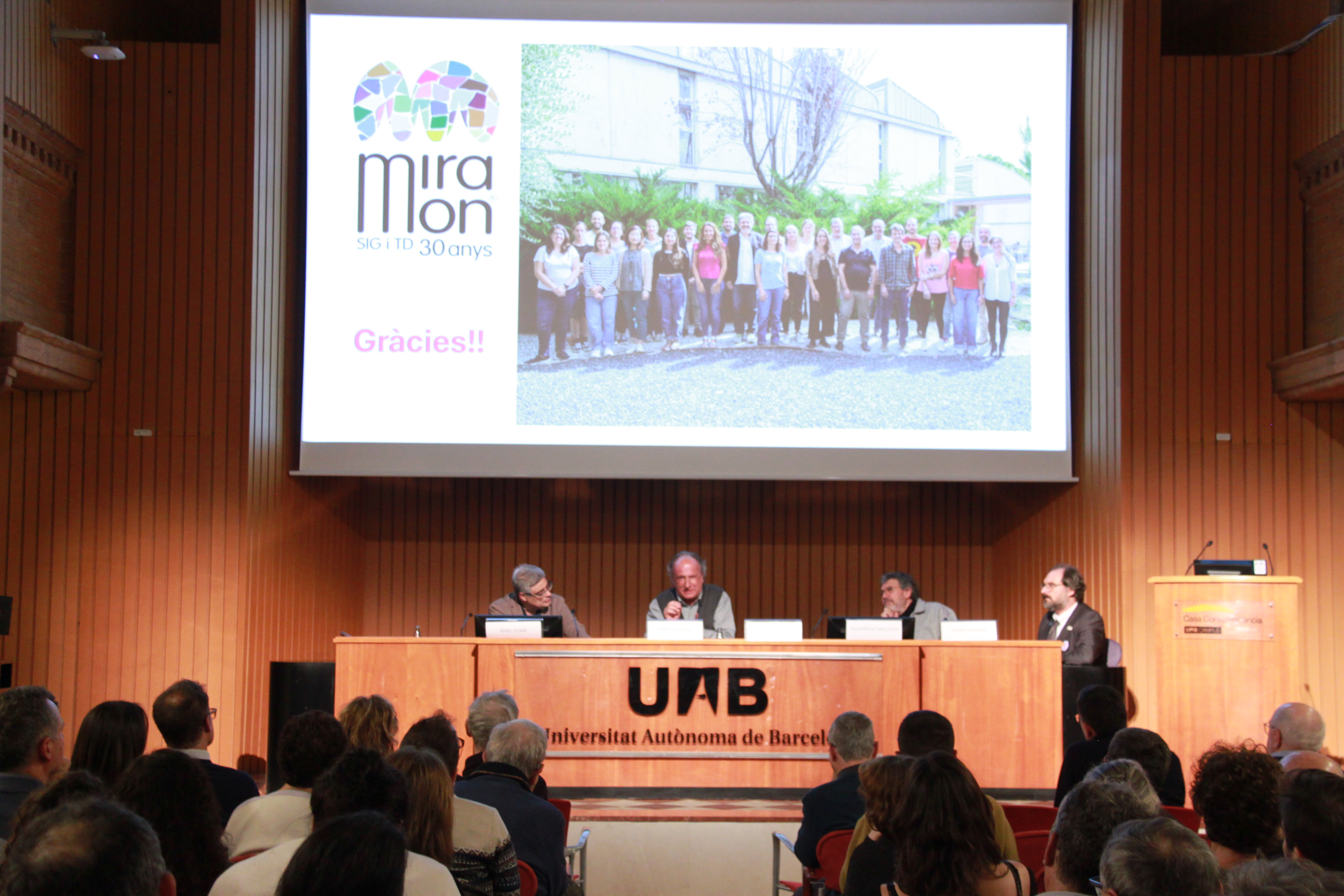
The most important thing about these 30 years of MiraMon has undoubtedly been the community of people involved in the development of the program, as well as the large community of users who have made MiraMon a reference tool in teaching, research, land management, and many other professional fields. For us, this community is the heart of MiraMon. That's why we wanted to celebrate this anniversary with a central event featuring remarks from some of the people who have been protagonists of this story, while also reflecting on the future of MiraMon. At the event, refreshments were also offered to all attendees as a token of gratitude for their involvement and support.
Event information
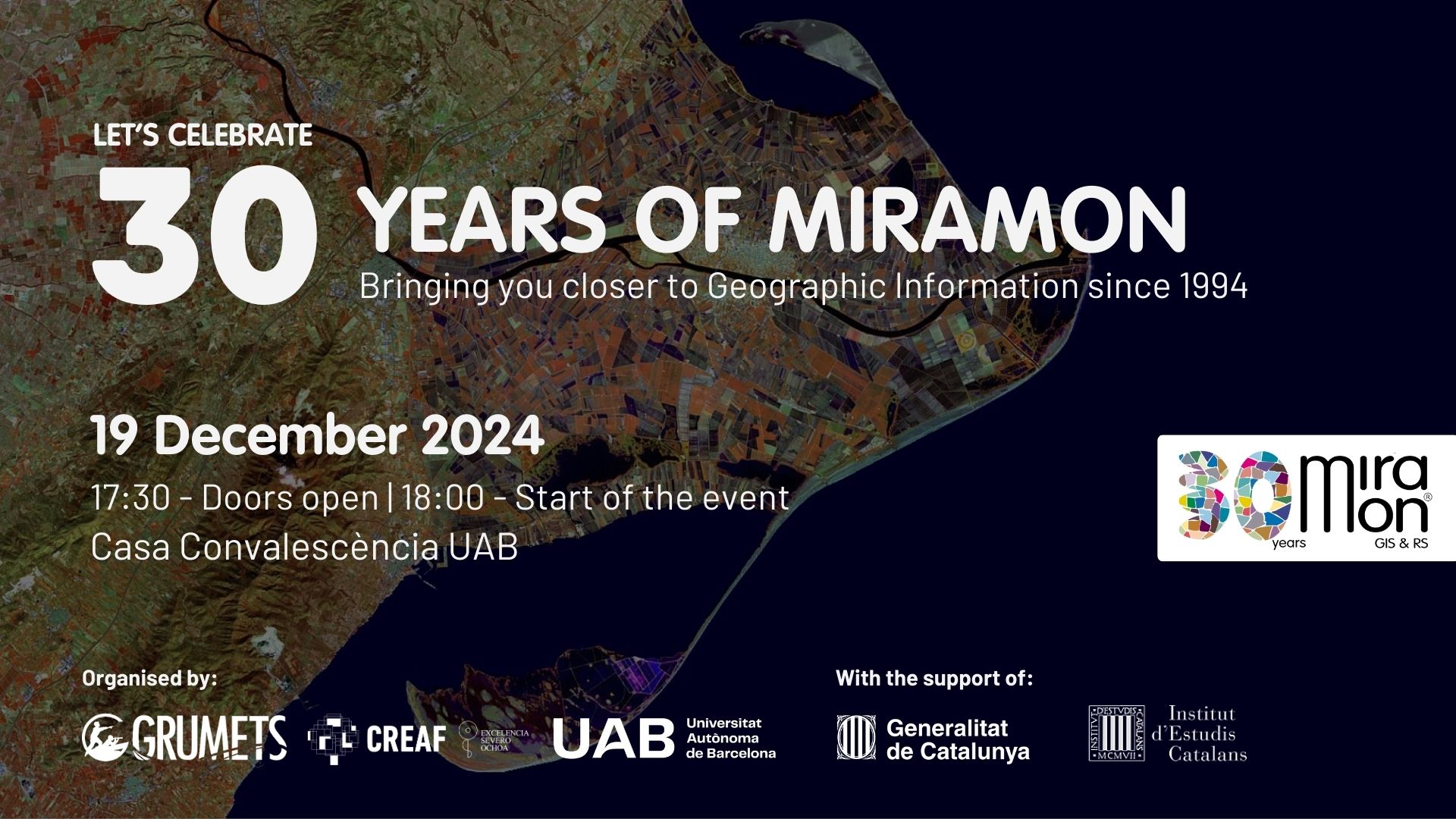
📅 December 19, 2024
⏰ 17:30 - Doors open | 18:00 - Event starts
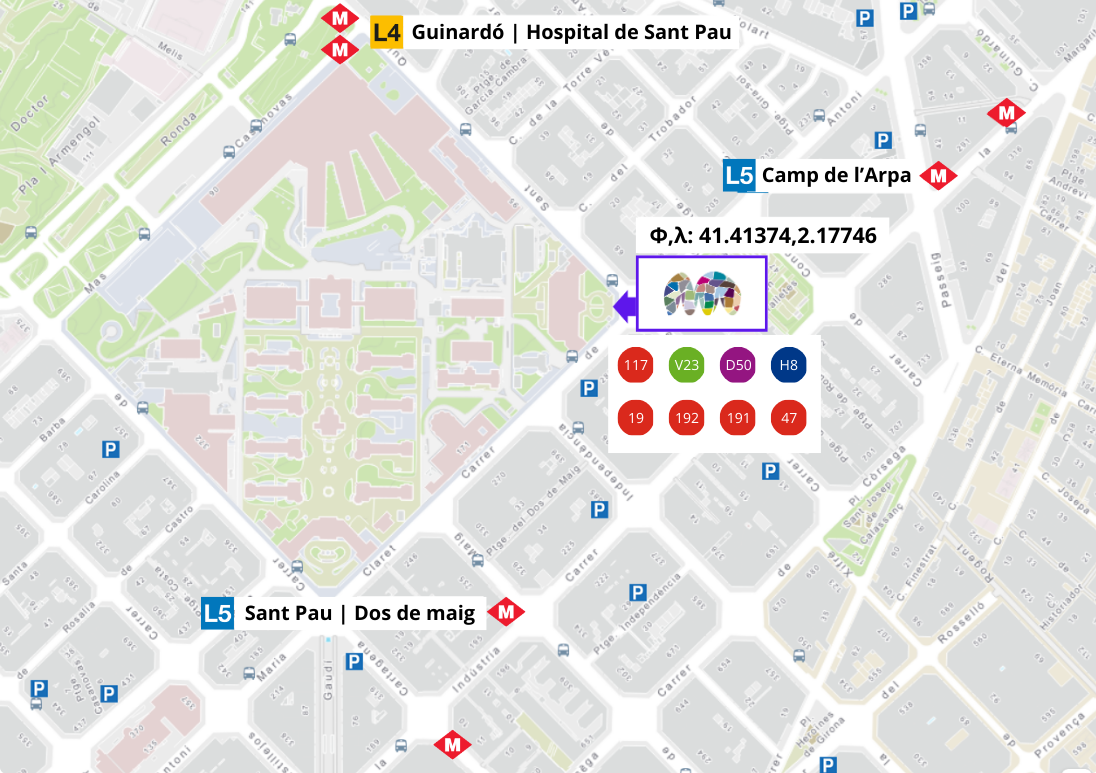
📍 Where? Aula Magna of the Casa de Convalescència UAB (Hospital de la Santa Creu i Sant Pau grounds. Carrer Sant Antoni Maria Claret 171, corner of Sant Quintí). Φ, λ: 41.41374, 2.17746
Invitation card
Event program
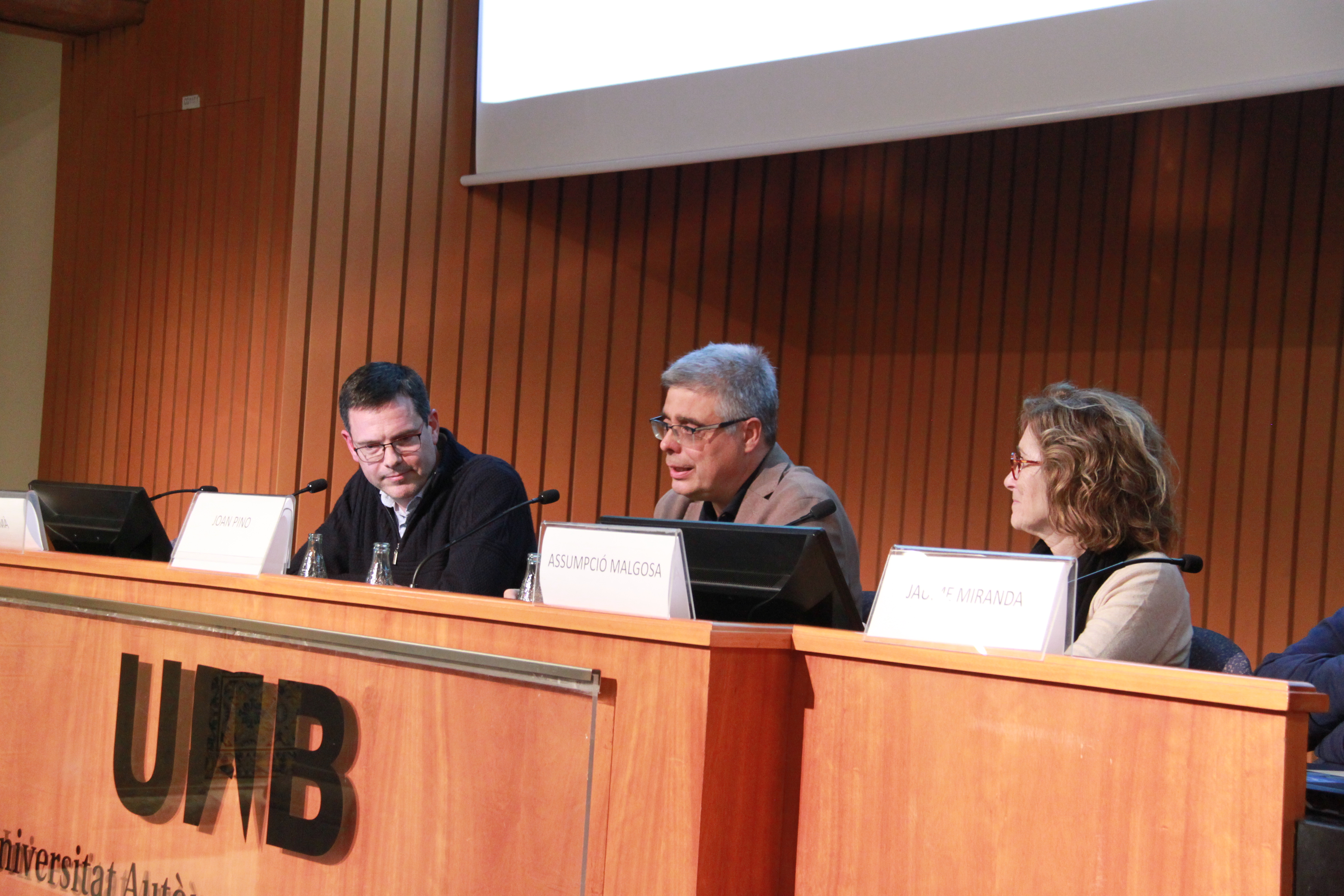
- Mr. Joan Pino, Director of CREAF, opens the event and introduces the panel.
- Remarks by:
- Ms. Assumpció Malgosa, Vice-Rector for Research at UAB.
- Mr. Jaume Miranda, full member of the Science and Technology Section of the Institut d'Estudis Catalans (IEC) and former Director General of the Institut Cartogràfic i Geològic de Catalunya (ICGC).
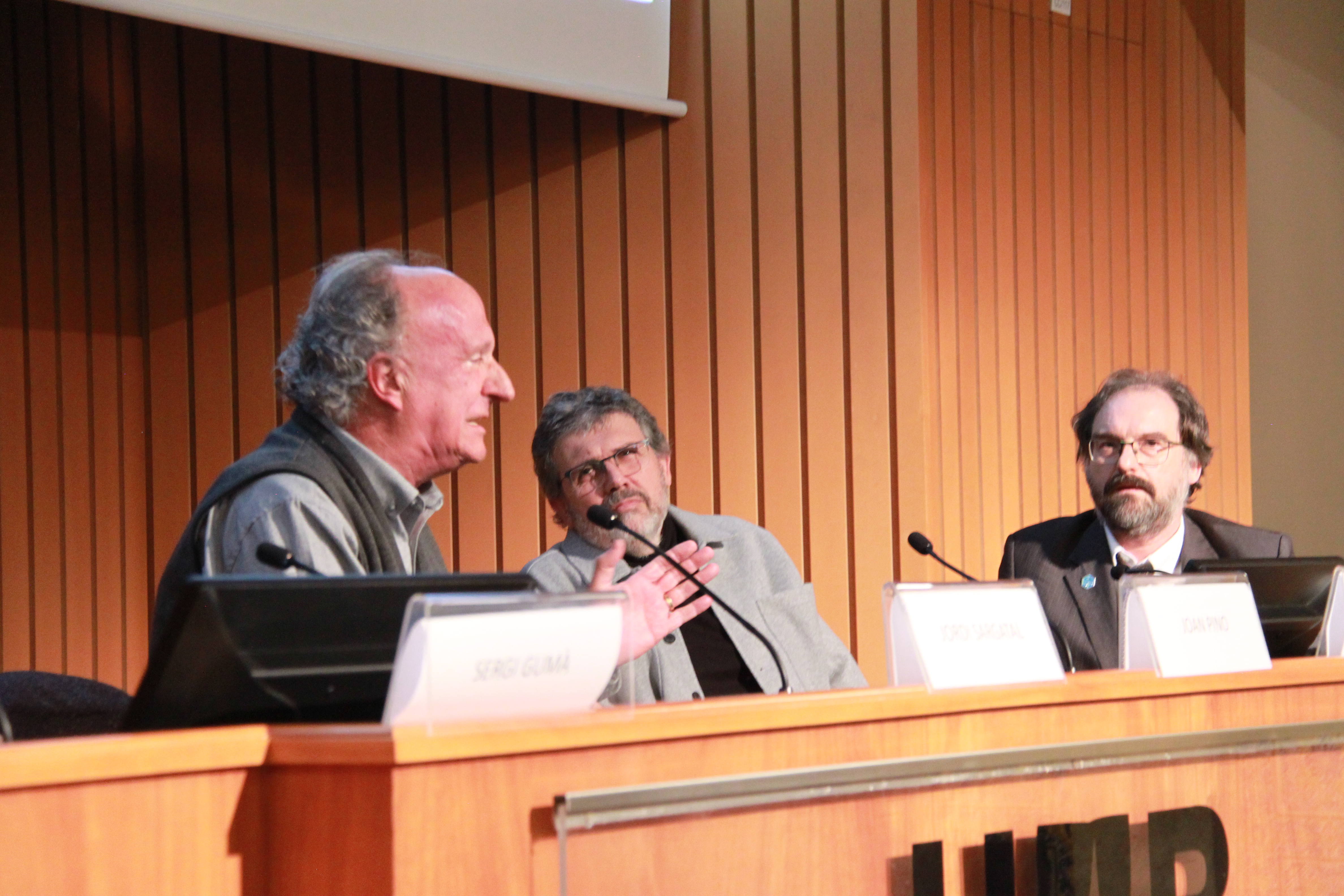
- Mr. Sergi Gumà, Geography student at the Autonomous University (bachelor's and master's in TD and GIS) with a long career at the Catalan Water Agency (ACA) and at leading GIS companies in the country, representing users and businesses.
- Mr. Joan Pino, Director of CREAF.
- Mr. Xavier Pons and Mr. Joan Masó (UAB and CREAF): Lecture "30 Years Looking at the World. From the How to the What."
- Remarks by Mr. Jordi Sargatal, Secretary for Ecological Transition at the Department of Territory, Housing, and Ecological Transition of the Government of Catalonia.
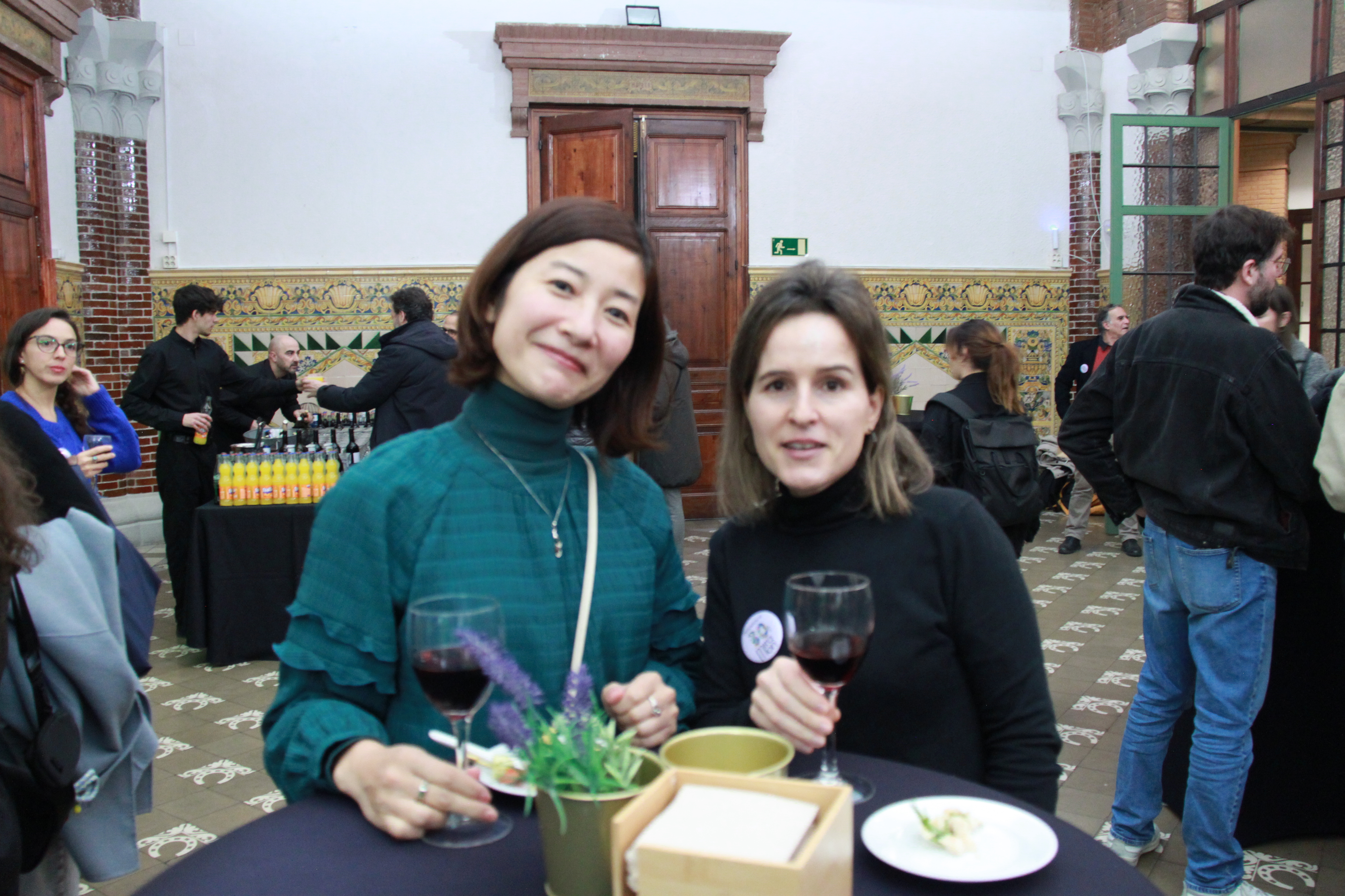
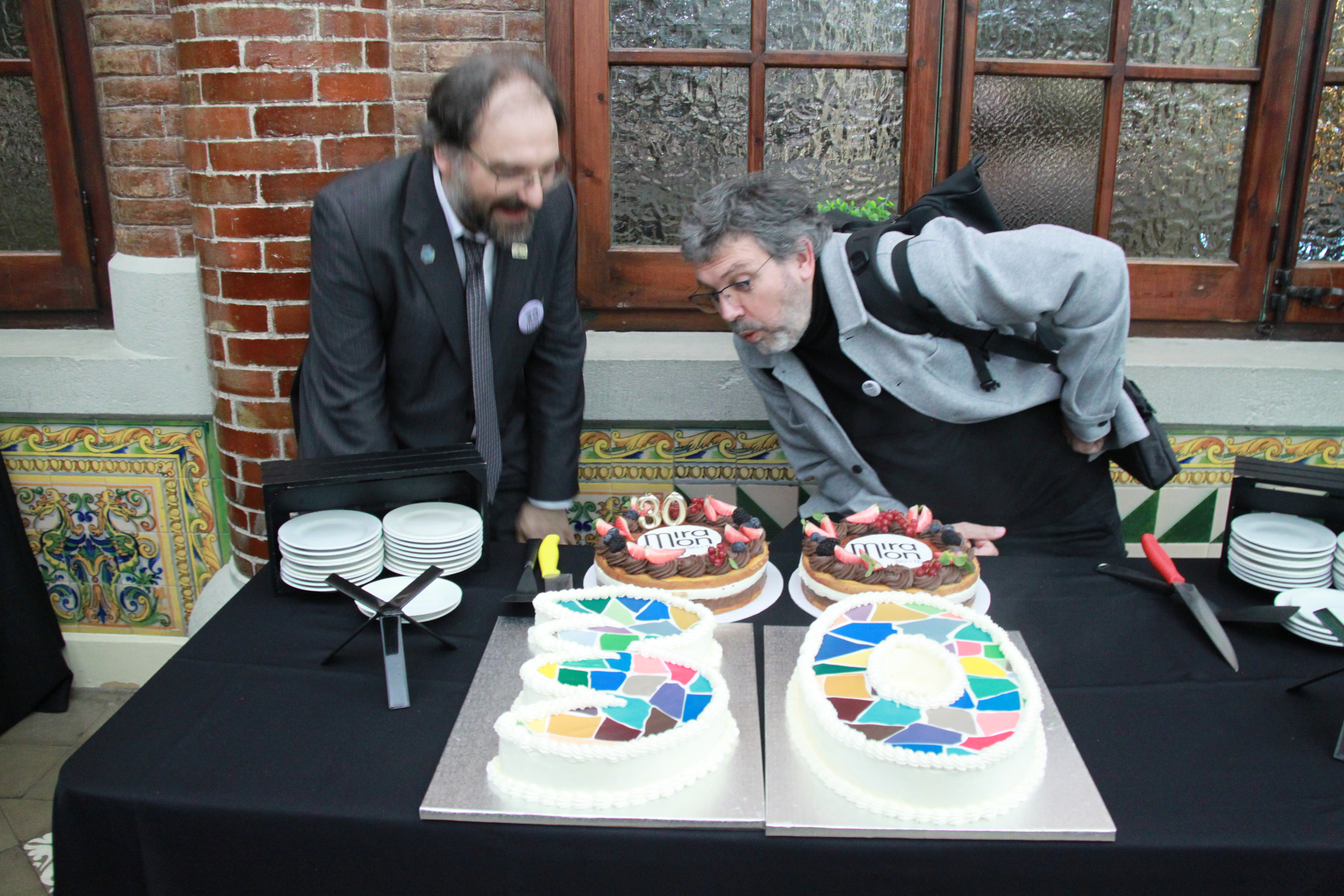
- Toast and refreshments
Commemorative videos
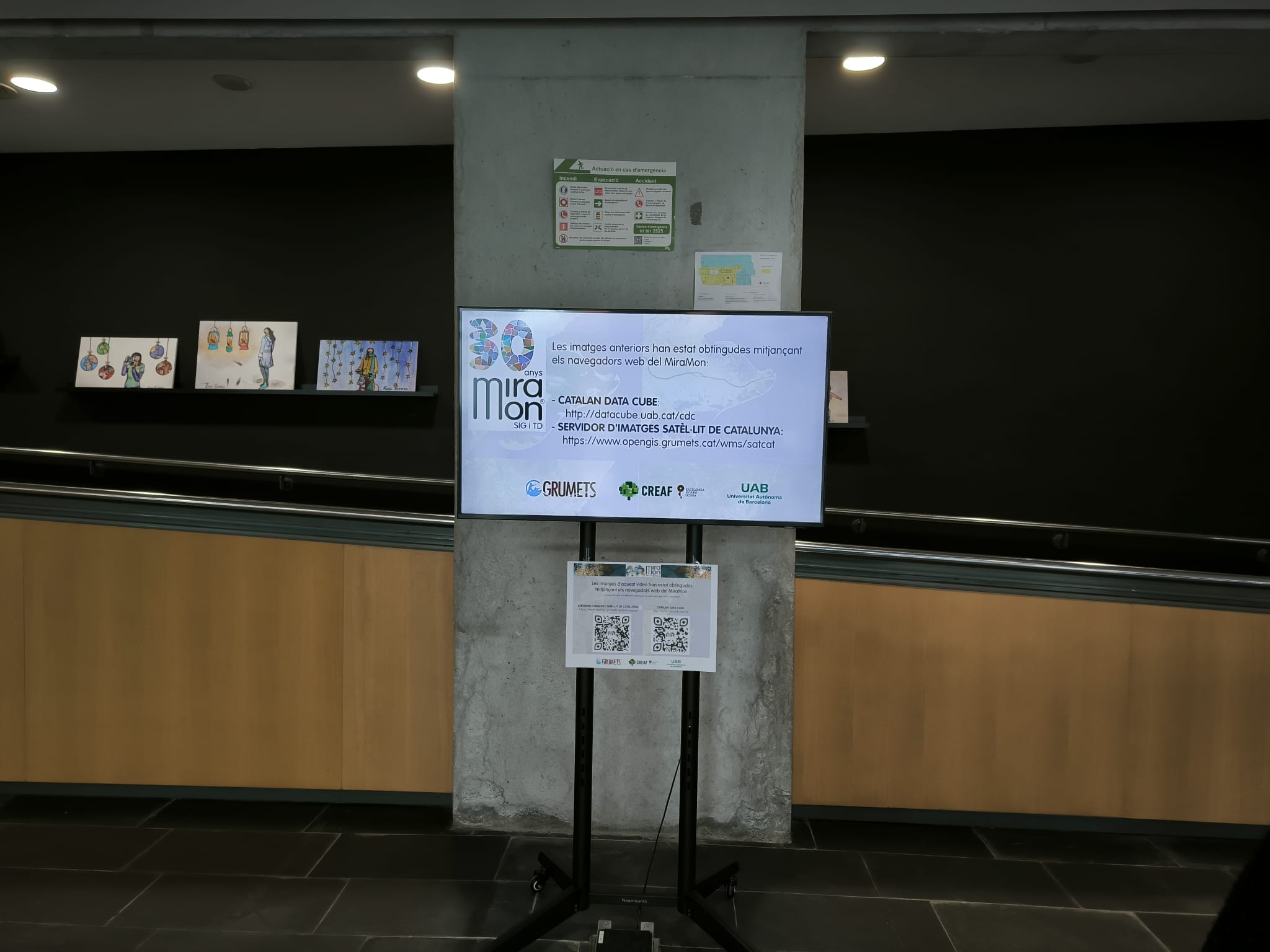
These two videos offer two knowledge capsules about the impact of MiraMon during these 30 years of development. The first one provides an overview of the recent changes that the Catalan territory has undergone over these 30 years. The second showcases the features of the software that make possible an accurate, analytical understanding of all these changes.
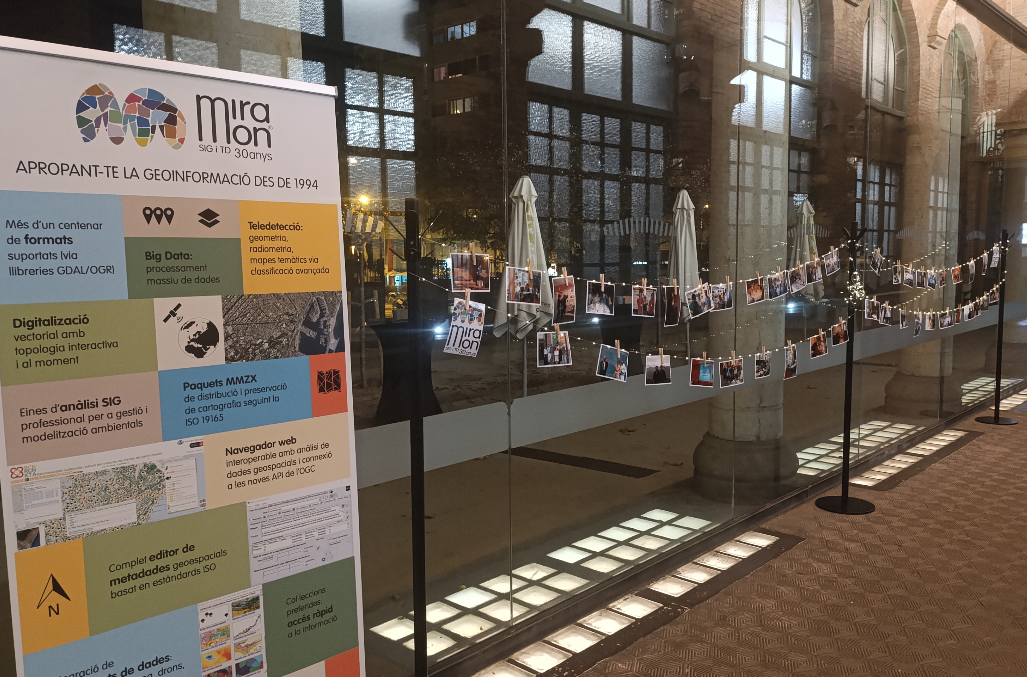
Itinerant exhibition "30 years of MiraMon"
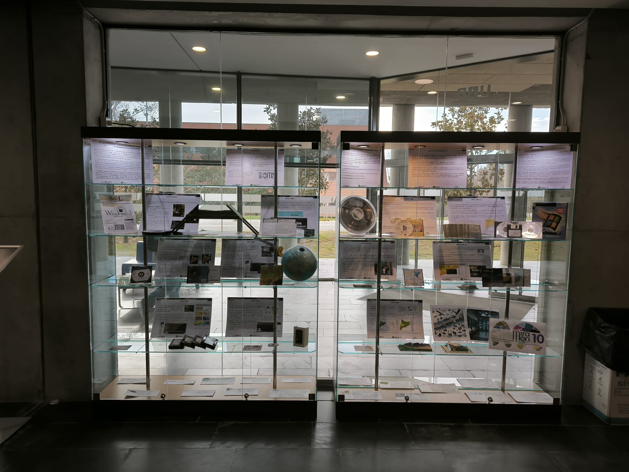
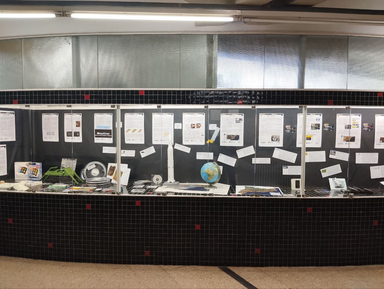
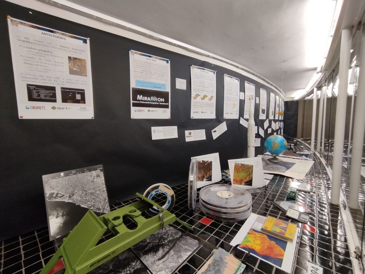
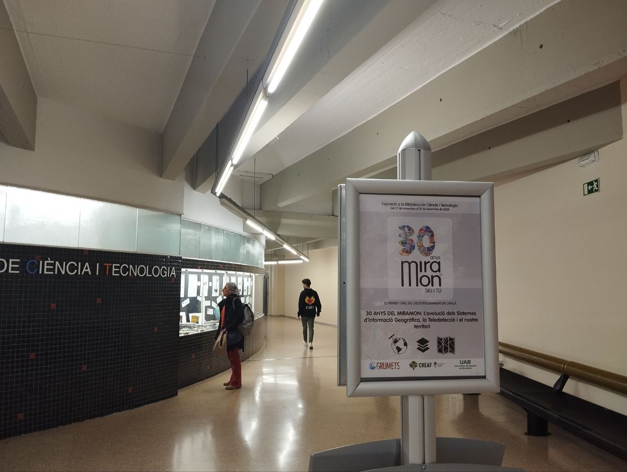
Under the title "30 Years of MiraMon: The Evolution of Geographic Information Systems, Remote Sensing, and Our Territory", this exhibition commemorates the 30th anniversary of MiraMon with a journey through important objects and milestones from 1994 to 2024.
The first lines of MiraMon code began to be written in 1988, but it wasn’t until 1994 that it became a Windows application used in scientific, educational, and environmental management contexts.
In this exhibition, you will discover the evolution of cartography, Geographic Information Systems (GIS), and remote sensing over the past 30 years, and how MiraMon has been a constant companion in this process of change. You will explore how 3D images were visualized at that time, the physical volume required to store digital data, the first Windows platforms used for code development, the role of satellites in Earth observation, and the challenges that lie ahead with the advent of artificial intelligence.
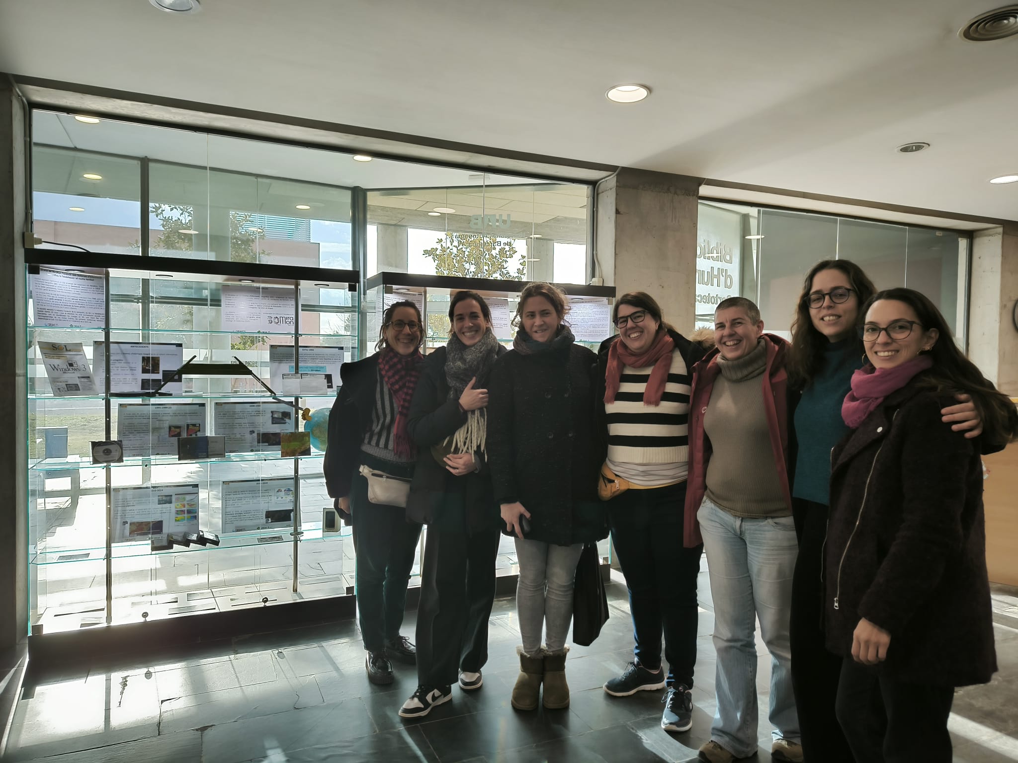
The exhibition premiered at the UAB Science and Technology Library where it was possible to visit between November 26 and December 20. Then, during January and February 2025 it was possible to enjoy it at the UAB Humanities Library
Cycle of conferences, workshops and round tables "MiraMon 30 years: new perspectives"
The cycle of conferences, workshops and round tables "MiraMon 30 years: new perspectives" consists of a series of gatherings designed to reflect on the present and future of geographic information and remote sensing.
The goal of this series is to promote a space for critical thinking and debate, addressing current challenges and emerging opportunities in the field of geographic information science and technology. We want this series not only to celebrate the history of MiraMon, but also to bring new perspectives to collective knowledge and address the relevance and potential these disciplines will continue to have in the coming years.
Iberian Spatial Data Infrastructure Conference (JIIDE25) - Oviedo
November 12–14, 2025
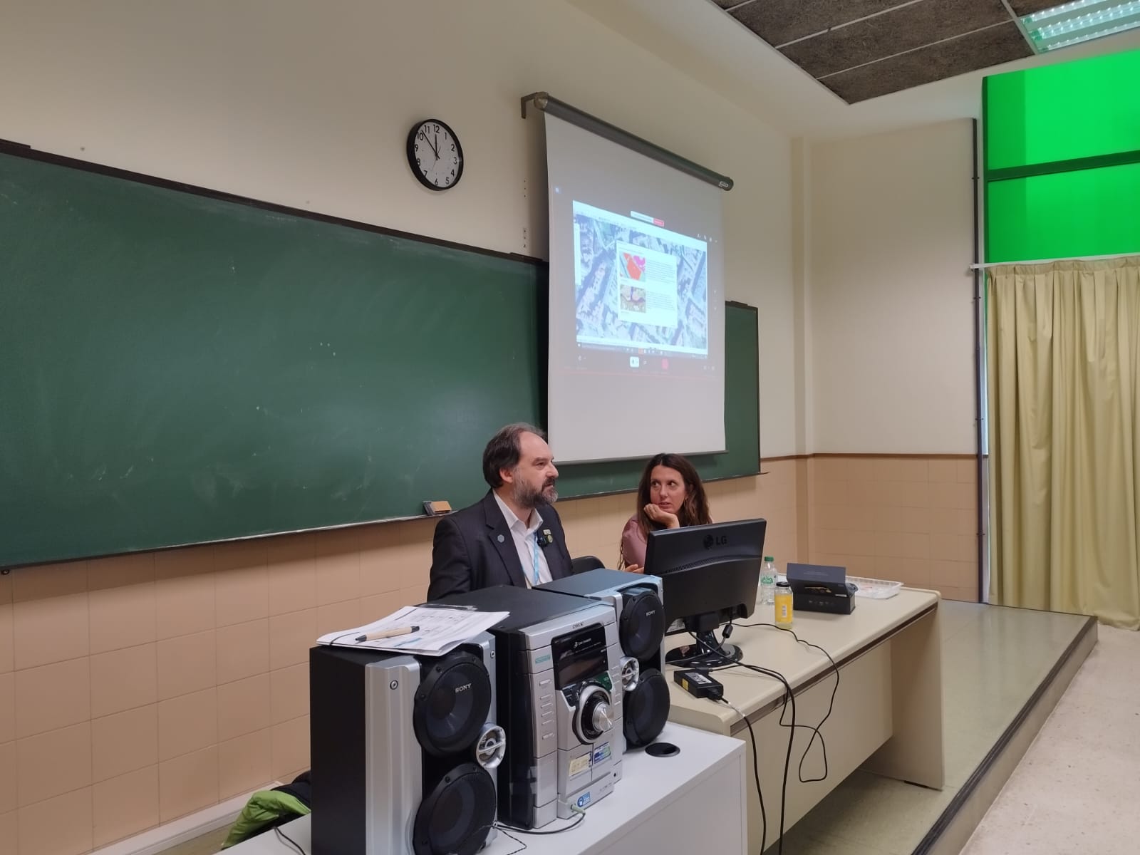
Researchers Joan Masó and Núria Julià led three workshops on:
- What the latest updates to the MiraMon GIS system are.
- What implementing OGC APIs is useful for when working with geographic information.
- Why spatial information metadata is important and how to document it using GeM+, MiraMon's Metadata Manager.
AGILE Conference 2026 - Tartu (Estonia)
June 16–19, 2026
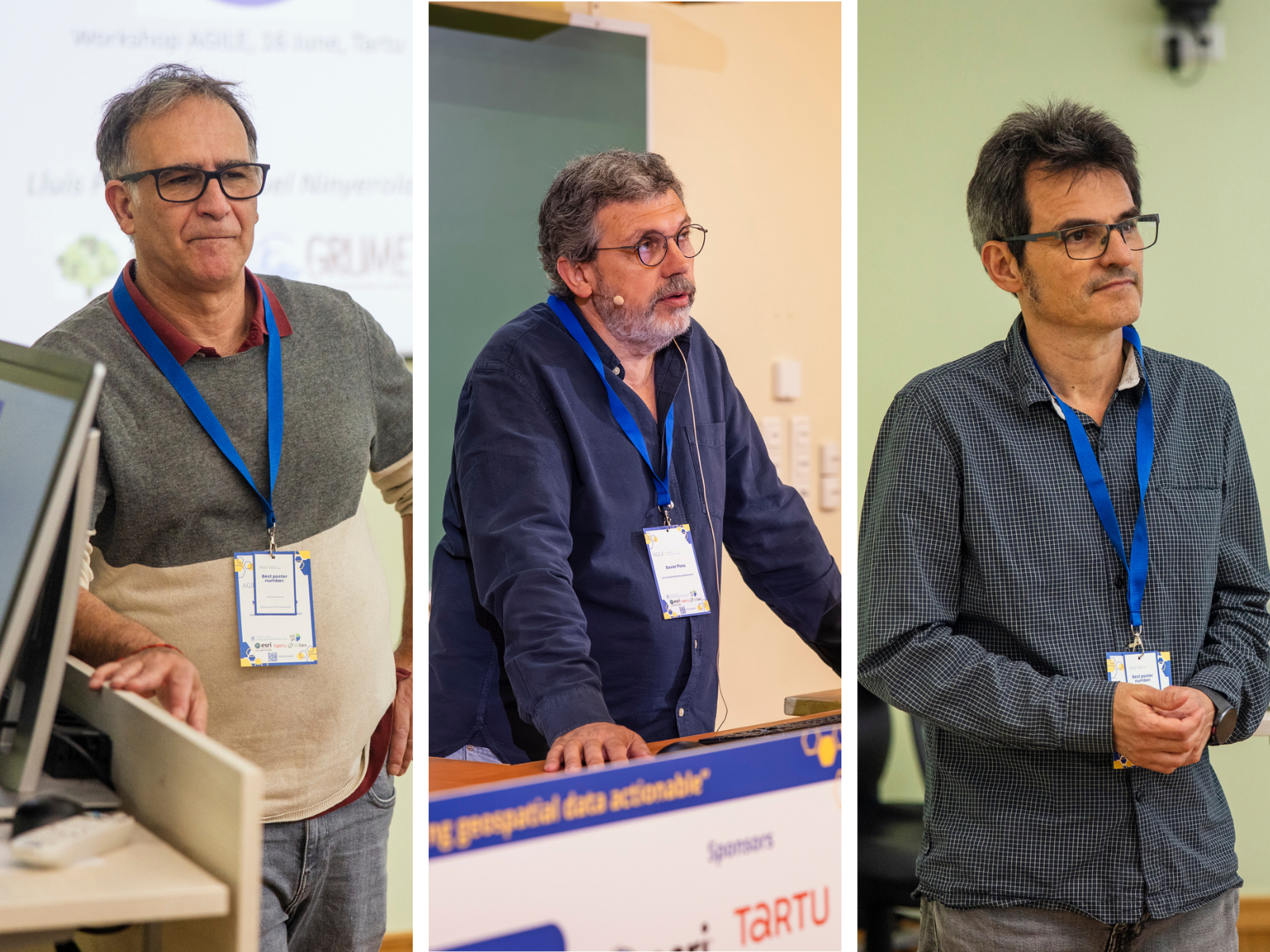
Researchers Lluis Pesquer, Miquel Ninyerola, and Xavier Pons presented:
- A workshop titled "Climate Surface Modelling with Remote and In-Situ Data".
- A presentation on the published article "LidarTeam: a remote sensing driven method for massive lidar data to regional DHM refined through user feedback"

Citizen Science and Official Data in Geographic Information
Dates to be confirmed
On the advantages, limitations, and complementary role between citizen science initiatives and data produced by official entities.
More information coming soon