What is MiraMon
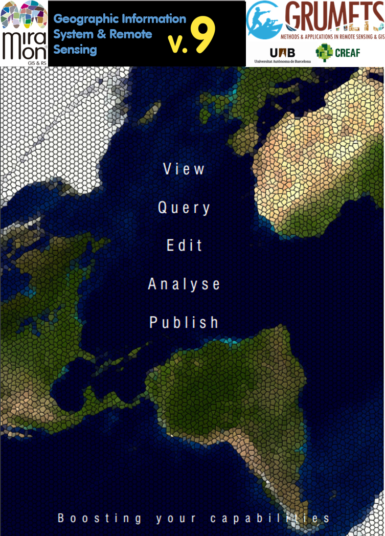
MiraMon is a Geographic Information System (GIS) and Remote Sensing software. It allows visualization, query, edition and analysis of raster (remote sensing images, orthophotos, digital terrain models, conventional thematic maps with raster structure, etc), vector (topographic and thematic maps that contain points, lines or polygons), and WxS servers, and their creation.
Some parts of the code were written from 1988, but was in 1994 when MiraMon started to become a Windows application to be used in scientific, educational and environmental management. The MiraMon is developed cooperatively by various members of the Consolidated Research Group GRUMETS belonging to the Centre for Ecological Research and Forestry Applications (CREAF) and to the Autonomous University of Barcelona (UAB), and seeks to provide a powerful and rigorous either free (for the international academic and educational communities) or low cost tool (for private entities), particularly useful for the public administration also. To date is a general purpose GIS, used by around 200 000 people in 41 countries. Developed to satisfy the most common IG user needs it has behind a team of expert developers in GIS and Remote Sensing working together with final end users to improve the program daily.
MiraMon was chosen in 1997 by the Environmental Information System in Catalonia to distribute geographic information data on the Internet. Its website receives around 40 000 visitors a year and was awarded a Special Mention to the Best Science and Technology application of the 2000 year International Internet Möbius Award. In 2007 MiraMon team was awarded the Environmental Prize by the Department of Environment and Housing (DMAH) of Catalonia in the form of "Research, innovation and development". Since that moment, its development and participation in scientific and technical projects has been constant
The team members publish in the best journals of their field and are present at the major symposiums on GIS and Remote Sensing. Concerned about the quality mapping they are involved in defining protocols that must shape the national cartographic scenario: they participate in the discussion group of the Catalonian Cartographic Plan, are editors of the Interoperability Framework of Catalonia, collaborate in the definition of the National Remote Sensing Plan, etc. Internationally, they are an active member of the Open Geospatial Consortium (OGC) where collaborate in the drafting and revision of new standards such as WMTS of its own creation. Most of Catalonian cartographic information is provided in MiraMon format, particularly versatile and rich regarding data model, metadata, symbolization, etc. Among them, all the official maps produced by the Cartographic Institute of Catalonia, ICC (1:5 000, 1:25 000 and 1:50 000 vector format topographic).
The use of MiraMon GIS software has been widespread in several instances of the Catalan Administration: Environment and Housing Department (GIS system used since 1998, all the maps distributed in MiraMon format), Agriculture, Food and Rural Action (GIS system of the DG Fisheries and Maritime Action since 1999), Health (Sanitary Map of Catalonia, 2006), Catalan Water Agency (quality and quantity water station network, calculation of snow surface), Meteorological Service of Catalonia (risk weather situations advice maps), several county councils, town councils (the browser of Urban Architectural Barriers of Sabadell), museums (Museum of the History of the City of Barcelona, Natural Science Museum), etc and in many other regions: in the Institute of Biodiversity of Andorra (Environmental Information Server), in the Ministry of Environment of Andorra, in the Doñana National Park, in the Monitoring of the Protected Areas of Spain (EUROPARC), in the Government of Aragon (the Climatic Digital Atlas Server),... It is used in many universities, research centers, private consultancies, NGOs, secondary schools, etc, as well as in the management of several natural parks. Is part of the core software in main master and postgraduate courses in remote sensing and GIS and it is used by thousands of students. MiraMon map servers provide massive amounts of data to the Internet or intranets. An example is the satellite image server (SatCat), located in the Documentation Center of the DMAH that offers a free public consultation and extraction of satellite images.